T6: Von Stechelberg über das Katzenwegli
The facts
| Grade | T6 |
|---|---|
| Points | Stechelberg (910 m) → Silberhornhütte (2,663 m) |
| Distance | 13.8 km |
| Ascent | 1,820 m |
| Duration | 5 h 36 min |
| Links | SAC route · Strava |
The T6 that taught me what “mandatory” means.
The story
Going up
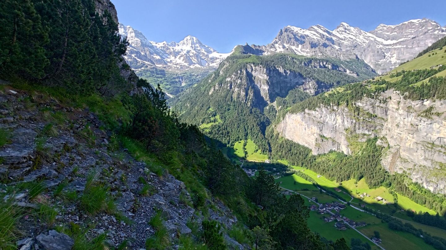
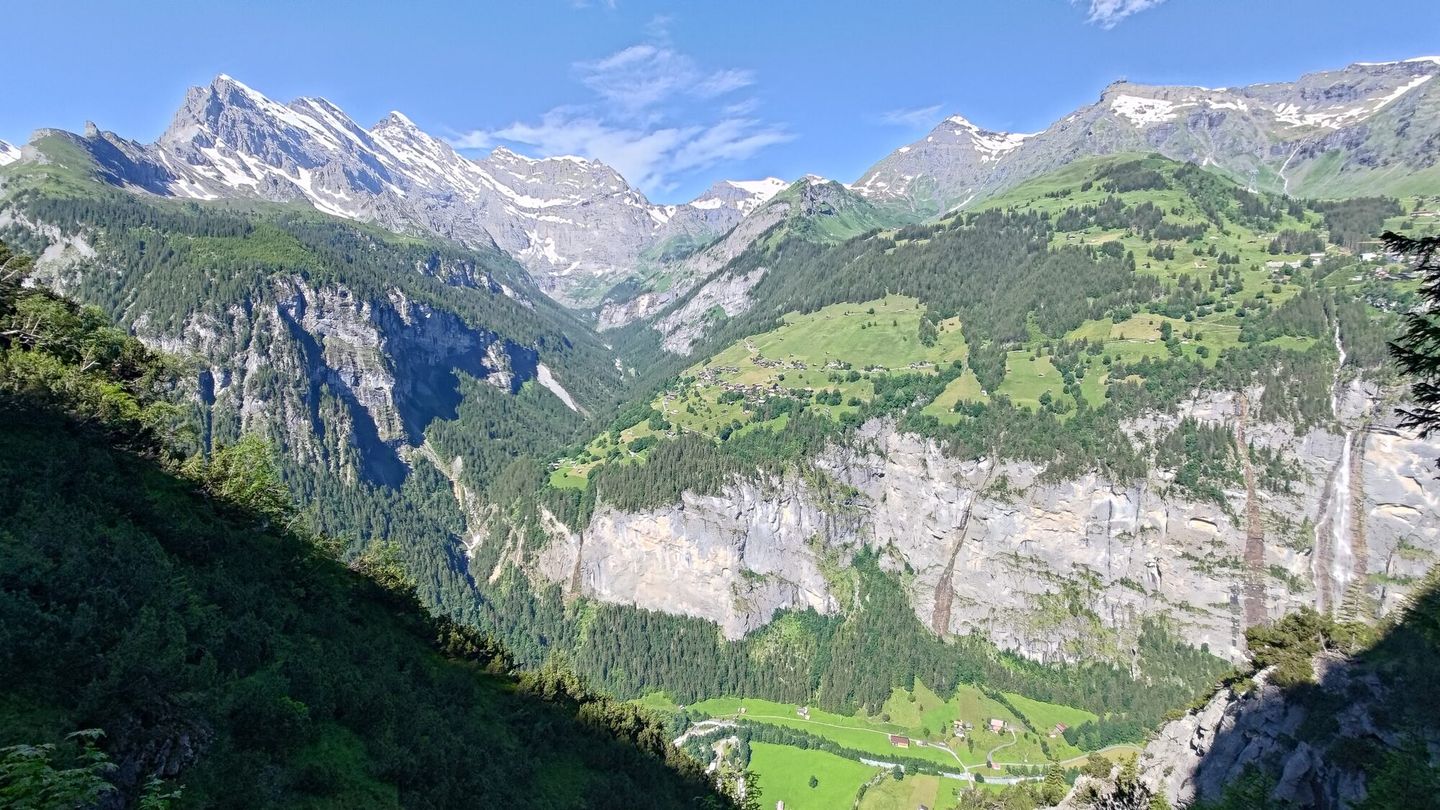
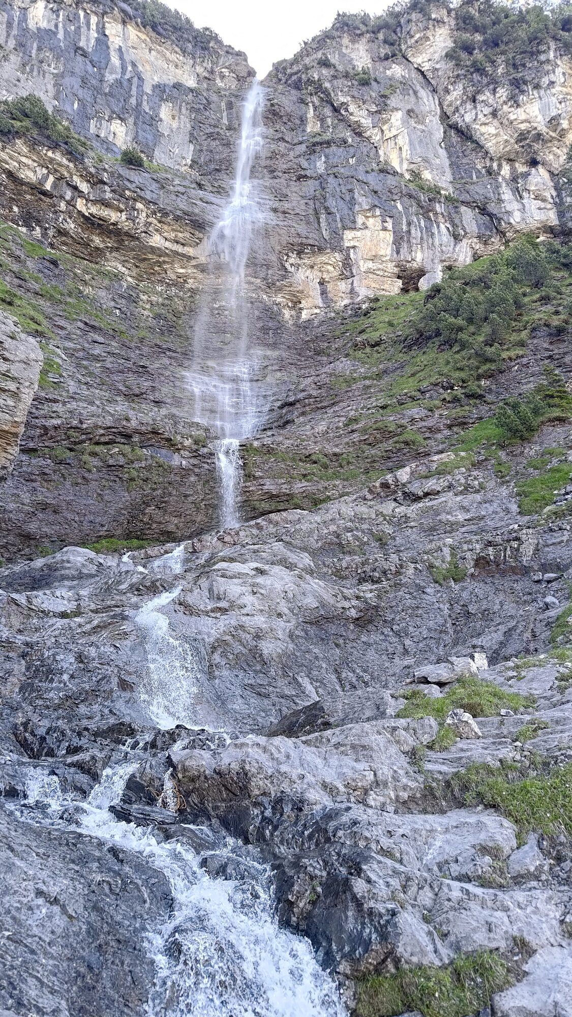
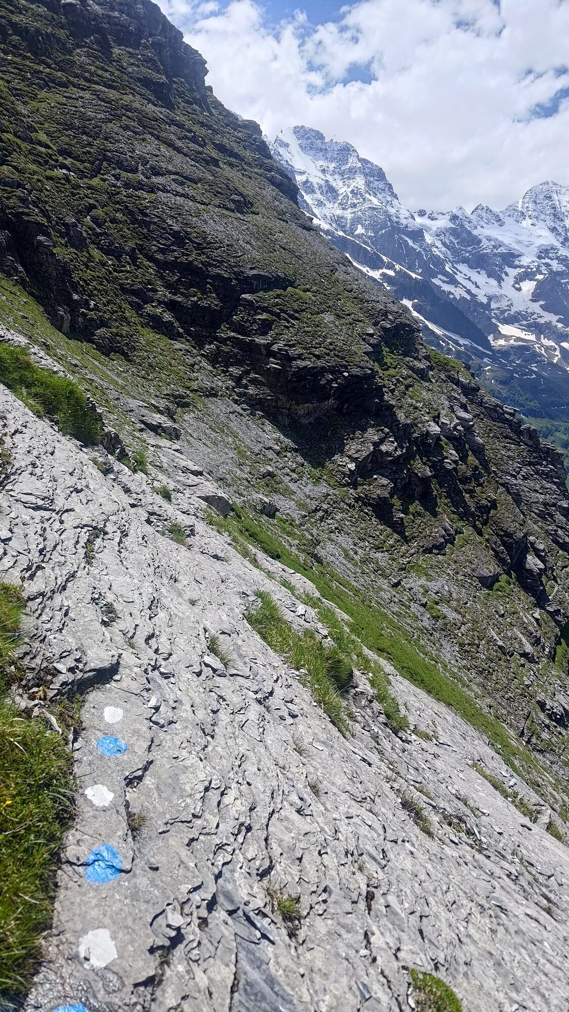
The first part zigzags steeply up through forest, past a waterfall and over debris. The pathfinding isn't easy, but it goes. Then the route runs under the rock face, where occasional red dots mark the way. Which is nice, and unusual for a T6.
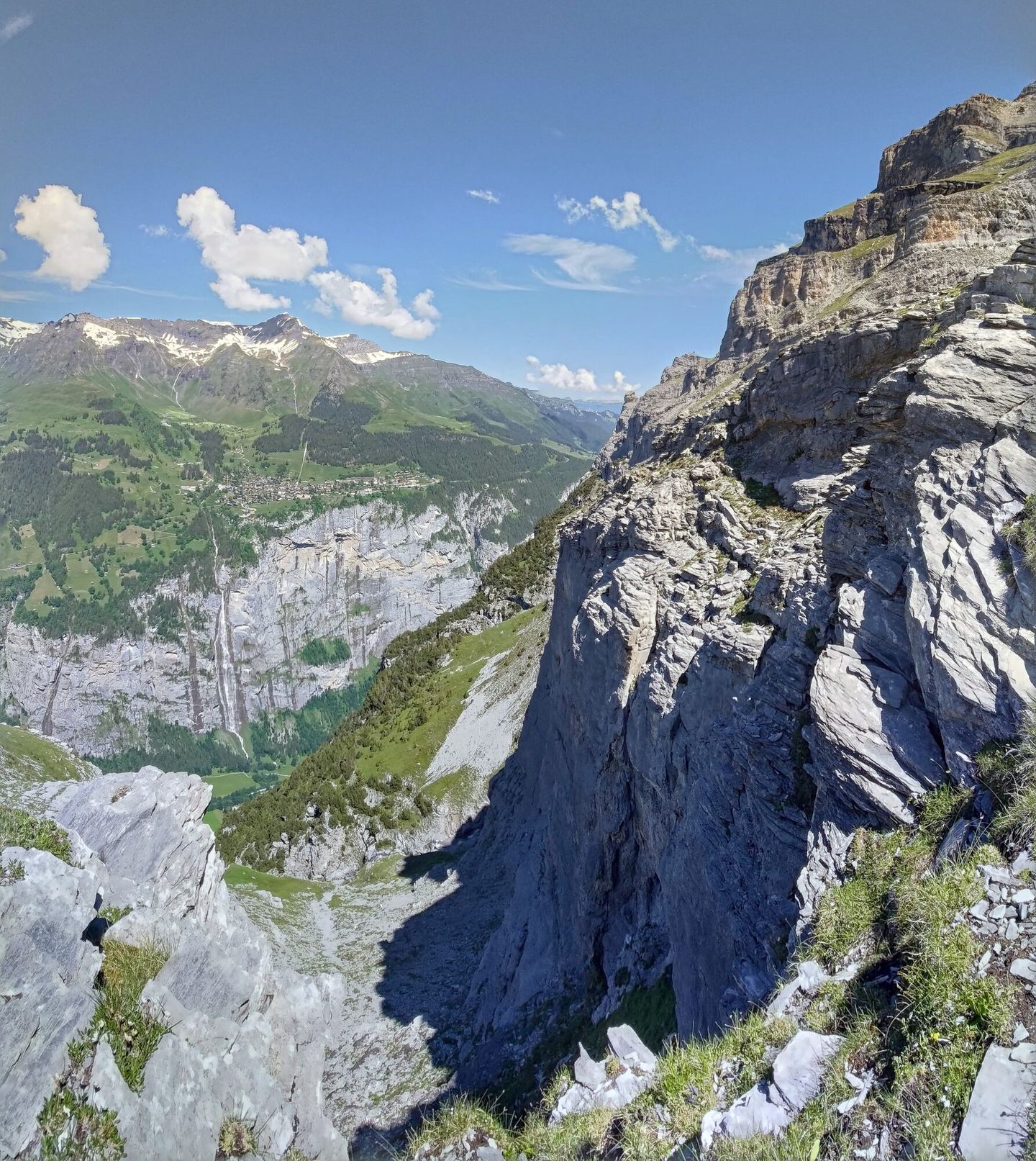
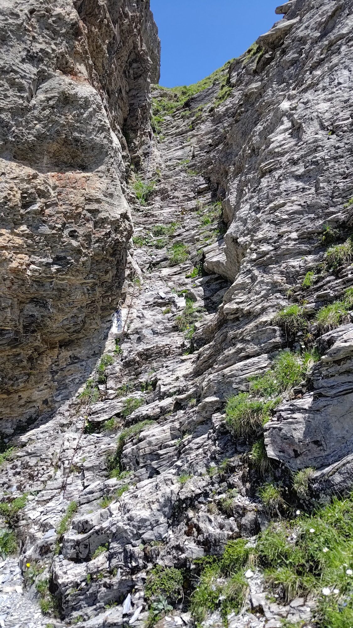
The first crux is an about 10 m wide, very steep scree field that ends with a cliff. Slow and careful steps necessary. But doable and easy to reverse.
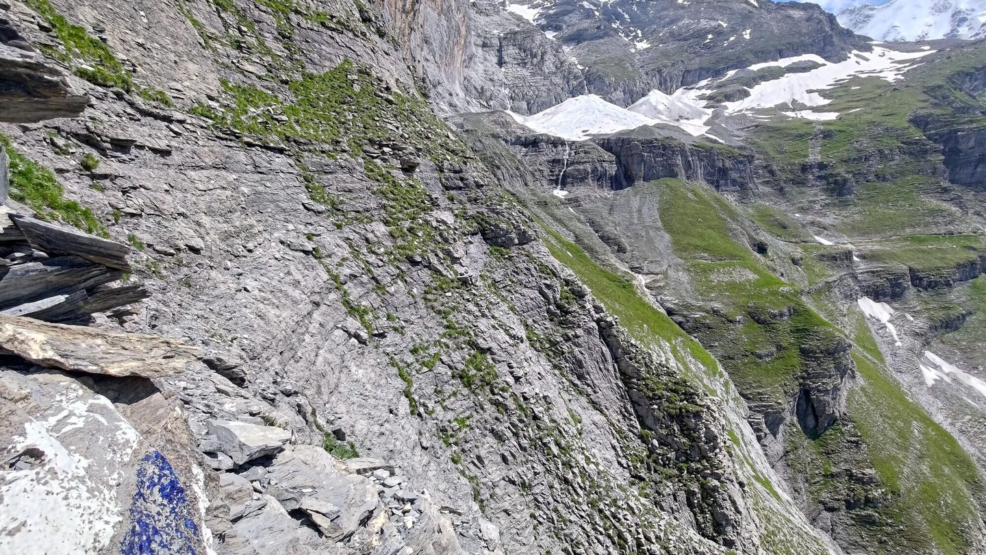
The second crux is a traverse across a dried-out waterfall, with a few bolts in the rock, which, I suppose, are there for securing the traverse with a rope. I didn't have one. I tried a few moves, then committed to one that was well beyond what was reasonable: traversing sideways on a slab with very few features to hold onto, to reach the remains of the path on the other side.
Once across, I realised I was not happy with the idea of reversing that move. From here it would either go, or end with a helicopter ride. What kept me going was knowing that the T6 joins a T5 higher up. Finish the hard bit, and it's just a moderately easy walk off. At least that's what I thought.
Further up the terrain eased into very pleasant grassy fields. Which gradually turned to scree fields and then into an area of big boulders. Then came the thing I did not expect at the end of June: about 200 vertical metres through a thick layer of snow, from around 2450 m all the way up to the point where my T6 joined the T5 I'd planned to descend.
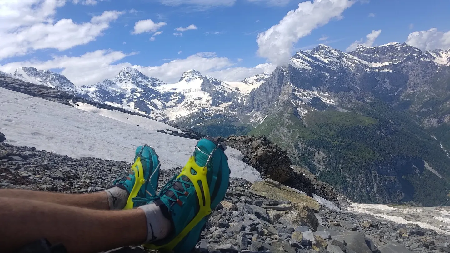
I found some dry rocks, sat down and planned the descent. Scared by the snow, my slow progress and the unknown snowfields ahead, I did not go on to the hut that day.
Coming down
The way down crossed a long, steep snowfield that bent round a corner, with old footsteps leading in. It was the only way, so I went.
The footsteps faded, and it got progressively more and more dodgy. I had microspikes but no ice axe. My feet were fine, but I had nothing for my hands and no way to stop a slide. I kicked deep steps and crept along a slope that felt like 45°, with a 50 m drop below. Second issue was the possibility of starting an avalanche.
I didn't call Rega. I was convinced it would go. It did. Looking back, it was pure luck. I was not familiar with the terrain nor the behaviour of the snow mass in those conditions. I knew the potential dangers. I decided to ignore all the warning signals.
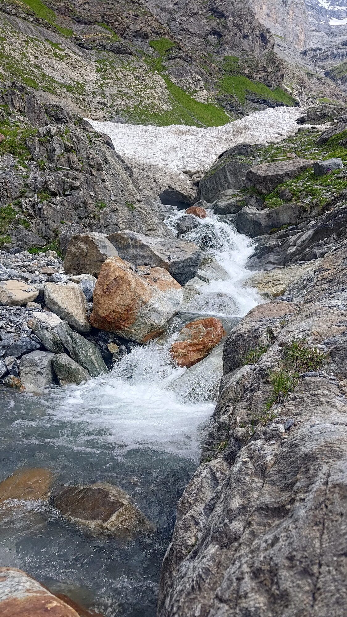
Round the corner the slope eased onto bare rock, and the rest was easy: a few chains, a gorge, some stream hopping.
About 5½ hours up and 2-3 down. Very happy to be off it. Proper type 3 fun.
Learnings
-
Microspikes (did right)
On the steep snowfield on the way down my feet were fine. Surprise snow is a thing in the Alps even deep into summer. Microspikes go with me on most trips.
-
No ice axe (did wrong)
On the same snowfield I had nothing for my hands and no way to stop a slide.
-
No accessory cord (did wrong)
The waterfall traverse has bolts for anyone carrying a rope. Without one, I made a move I couldn't reverse.
-
Stopped to plan the descent (did right)
When the snow and my slow progress scared me, I sat down on dry rocks, planned the way down and left the hut for another day.
-
Ignored the warning signals (did wrong)
I didn't know the terrain or how the snow behaves in those conditions, and went onto the snowfield anyway. It went, but it was pure luck.
The route
Download the GPX · Open in the swisstopo map · SAC route description