T6: Von Stechelberg über das Katzenwegli
The T6 that taught me what “mandatory” means.
The facts
| Name | Value |
|---|---|
| Date | 25 June 2024 |
| SAC route | Von Stechelberg über das Katzenwegli |
| Grade | T6 |
| Start / finish | Stechelberg, 910 m |
| Destination | Silberhornhütte, 2663 m (turned back at ~2650 m) |
| Distance | 13.8 km |
| Ascent | ~1820 m |
| Duration | 5 h 36 min (Strava) |
| Conditions | unexpected snow above ~2450 m |
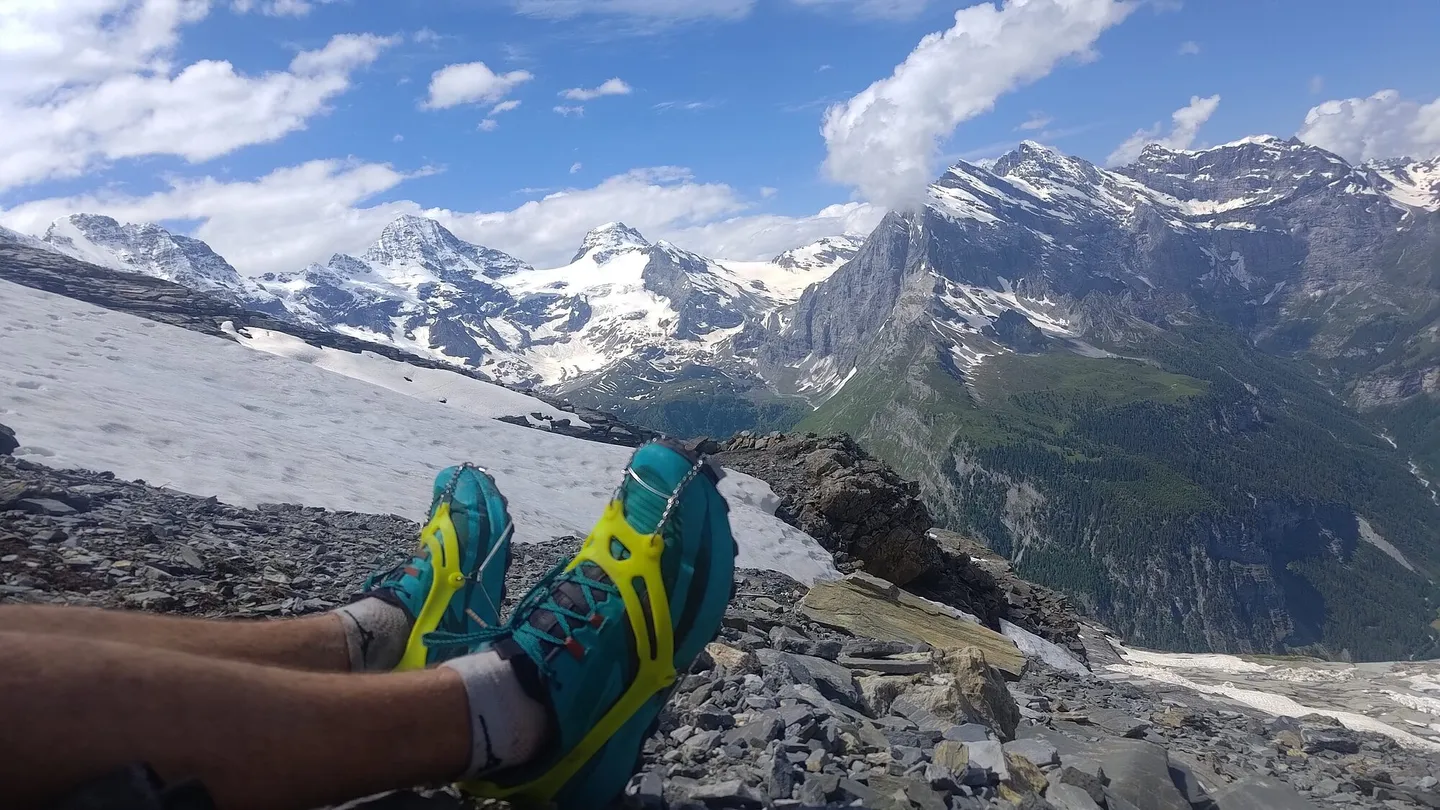
| Gear | microspikes; no ice axe (mistake ⚠️); no rope |
The story
Going up
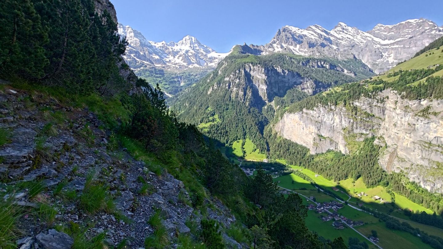
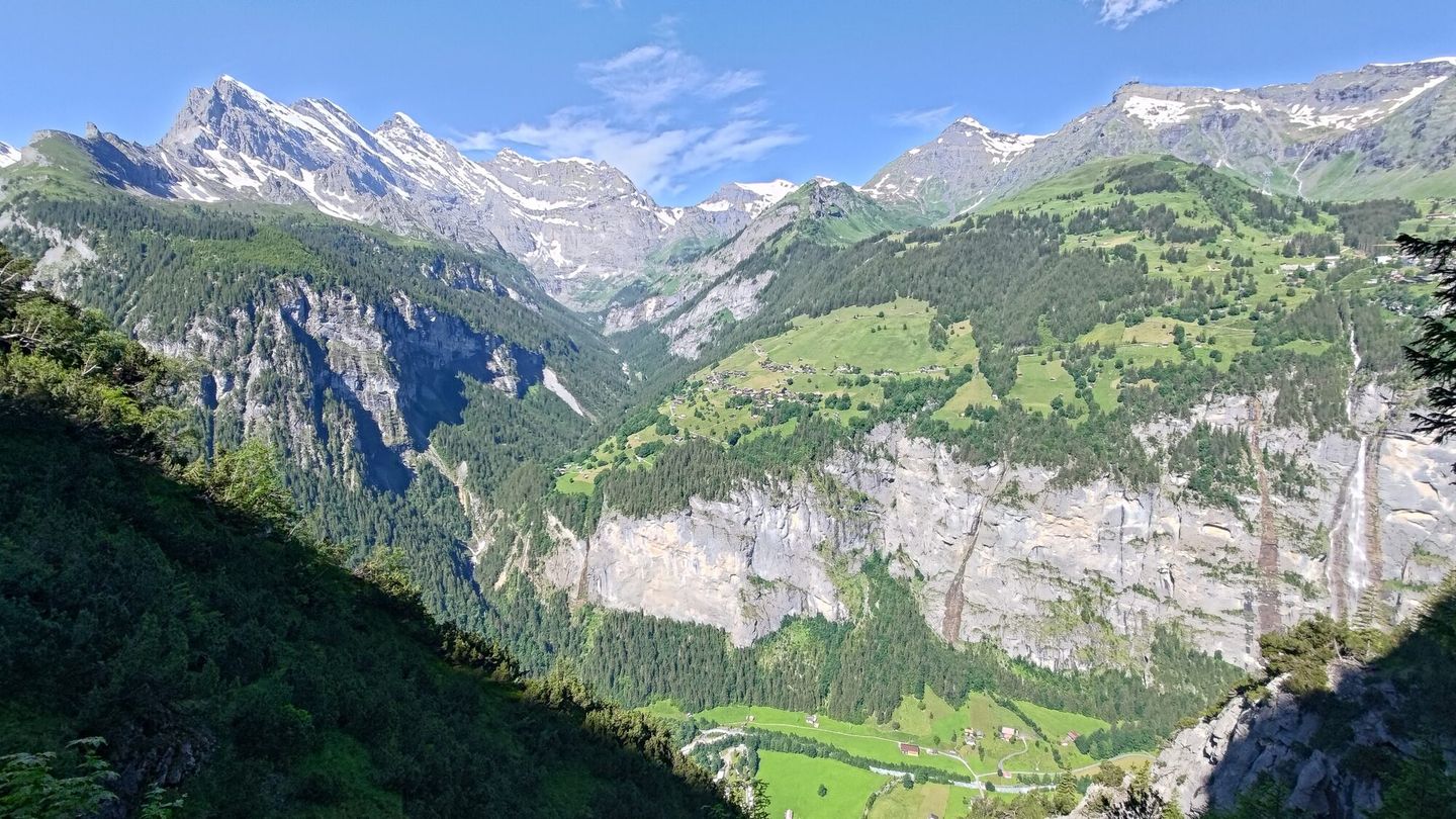
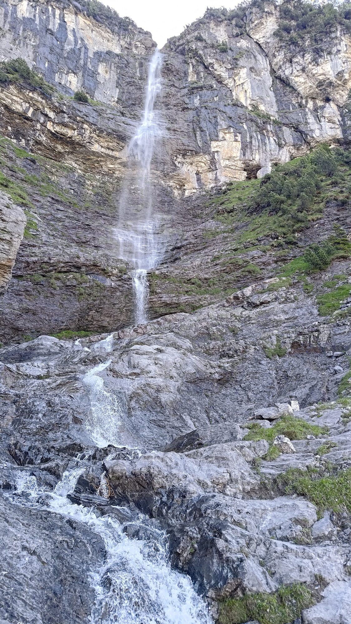
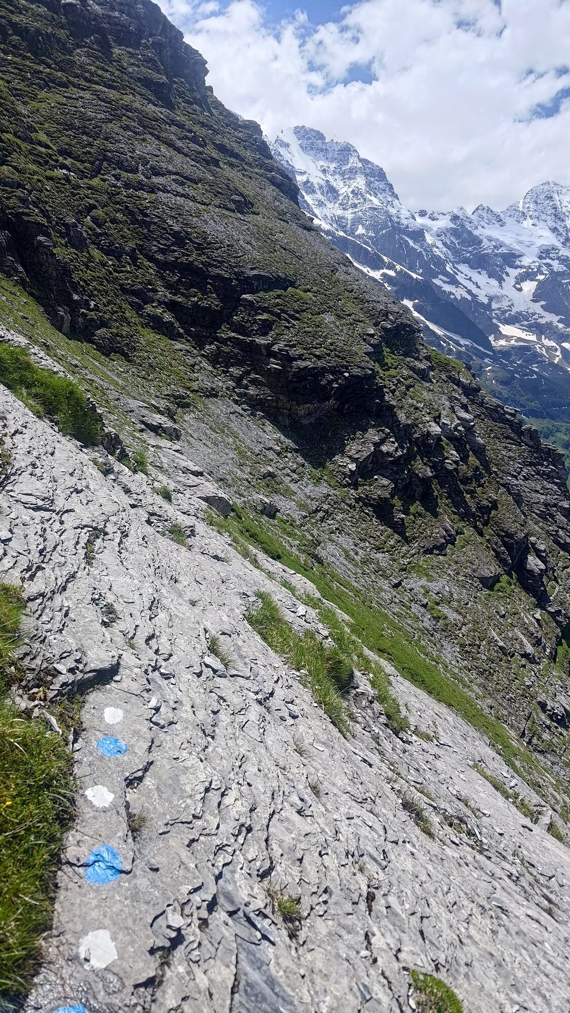
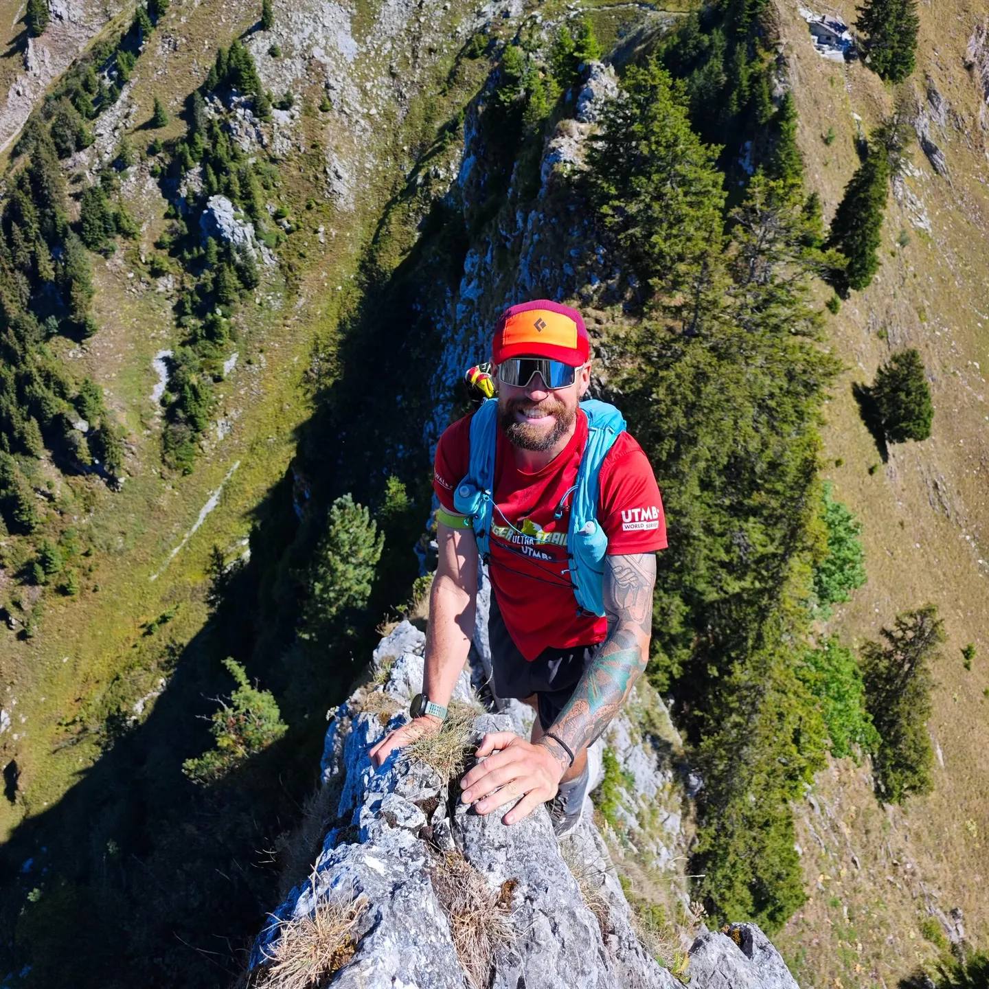
The first part zigzags steeply up through forest, past a waterfall and over debris. The pathfinding isn't fun, but it goes. Then the route runs under the rock face, where occasional red dots mark the way. That's unusual for a T6.
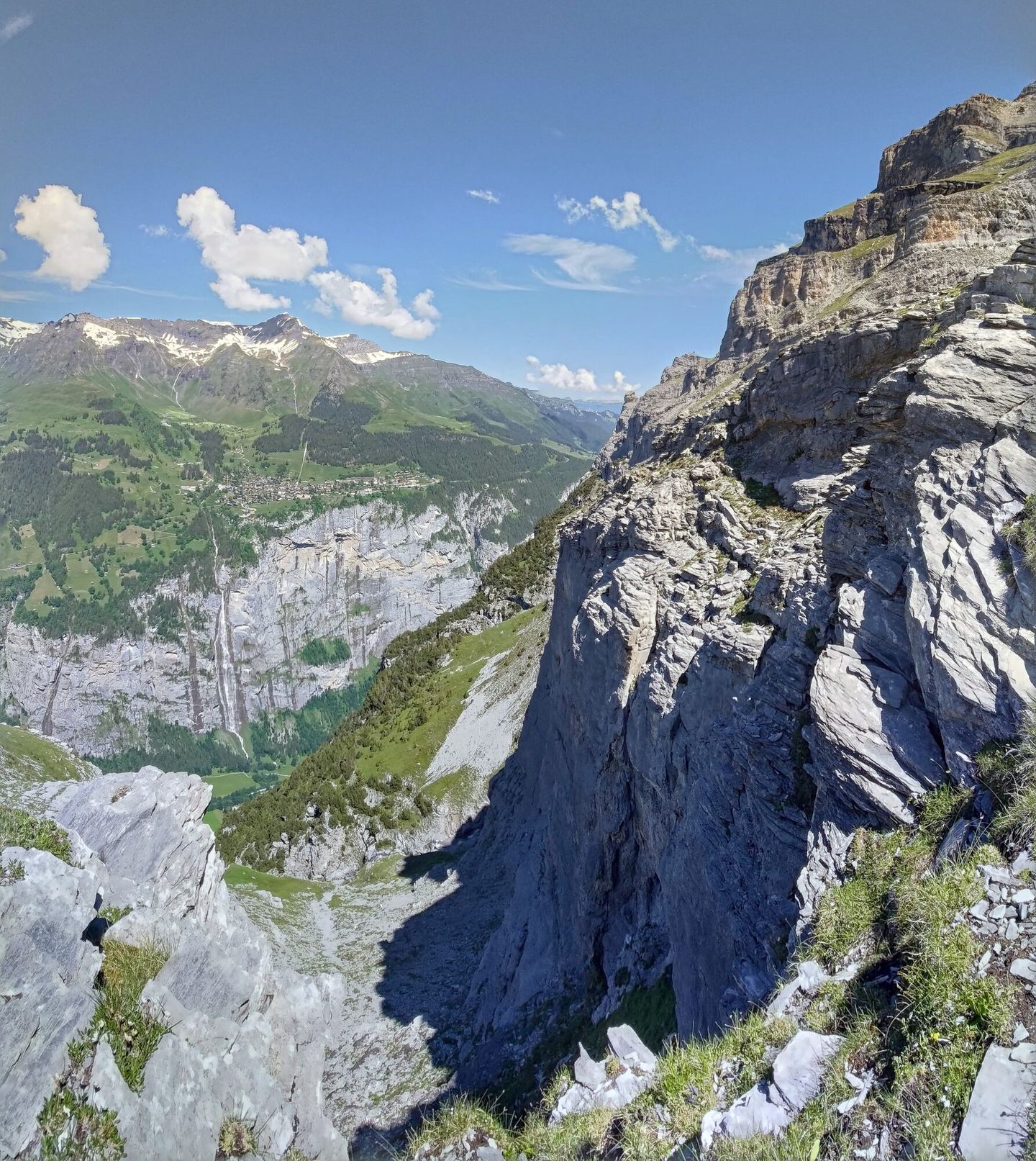
The first crux is a big, steep scree field. Anything coming from above would hit me, and a slip would send me off the cliff below. I crossed it carefully. It wasn't nice, but I could still have turned back.
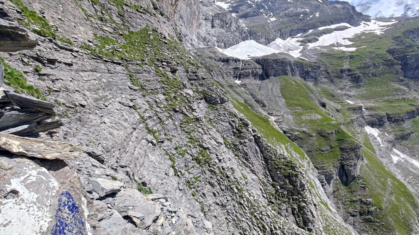
The second crux is a traverse across a dried-out waterfall, with a few bolts in the rock for anyone carrying a rope. I didn't have one. I tried a few moves, then committed to one that was well beyond what was reasonable: pulling myself sideways across a slab of rock that might have been crumbly, with nothing to hold onto, to reach the remains of the path on the other side.
Once across, I realised I could not reverse that move. From here it would either go, or end with a helicopter. What kept me going was knowing that the T6 joins a T5 higher up. Finish the hard bit, and it's just a moderately easy walk off. At least that's what I thought.
Above the waterfall the terrain eased into grass and a bit of scree, up to the big boulder basin below the hut. Then came the thing I did not expect at the end of June: about 200 vertical metres through a solid layer of snow, all the way up to the point where my T6 joined the T5 I'd planned to descend.
I found some dry rocks, sat down and planned the descent. Scared by the snow, my slow progress and the unknown snowfields ahead, I did not go on to the hut that day.
Coming down
The way down crossed a long, steep snowfield that bent round a corner, with old footsteps leading in. It was the only way, so I went.
The footsteps faded, and it got scary. I had microspikes but no ice axe. My feet were fine, but I had nothing for my hands and no way to stop a slide. I kicked deep steps and crept along a slope that felt like 45°, with a 200 m drop below. I was also thinking about avalanches, because it's not only you that has to stay on the mountain, the snow has to as well.
I didn't call Rega. I was sure it would go, and it did. Looking back, that was luck, not judgement.
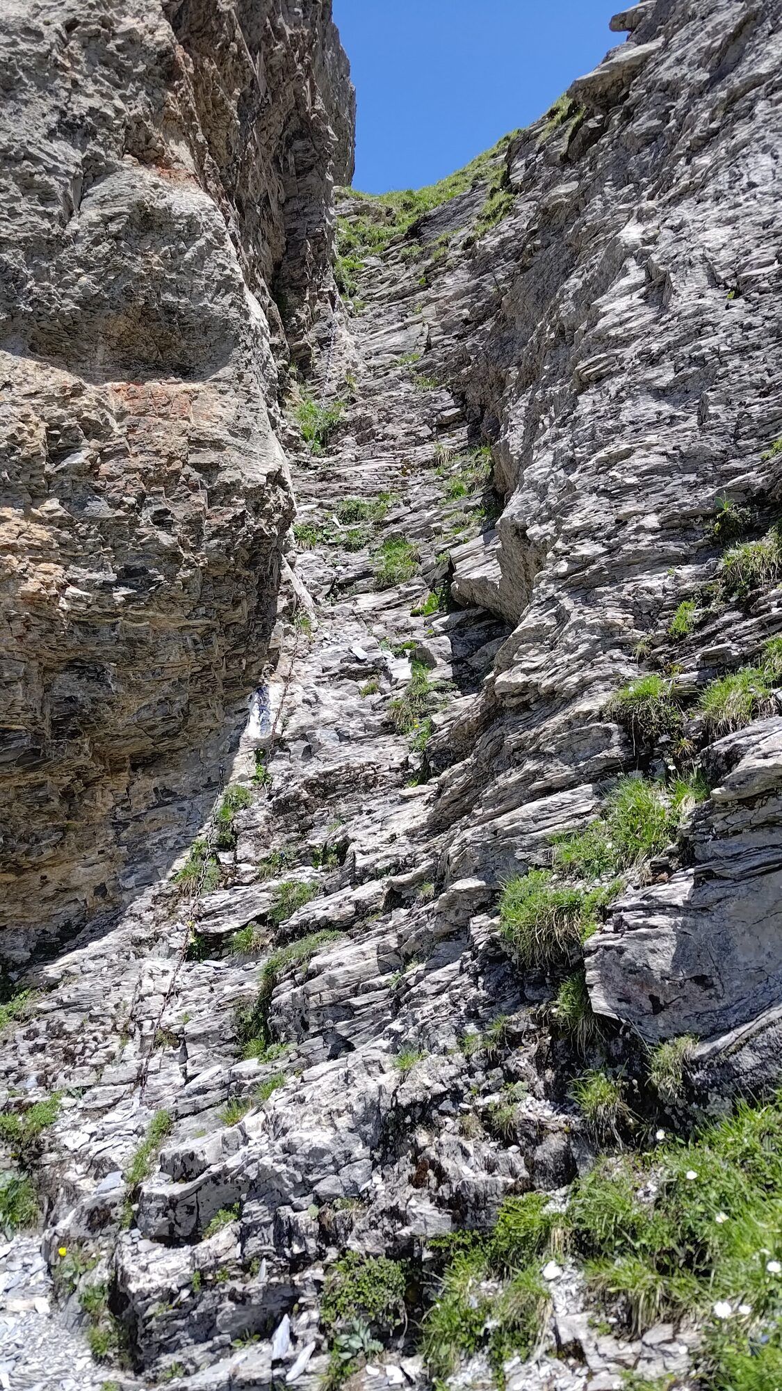
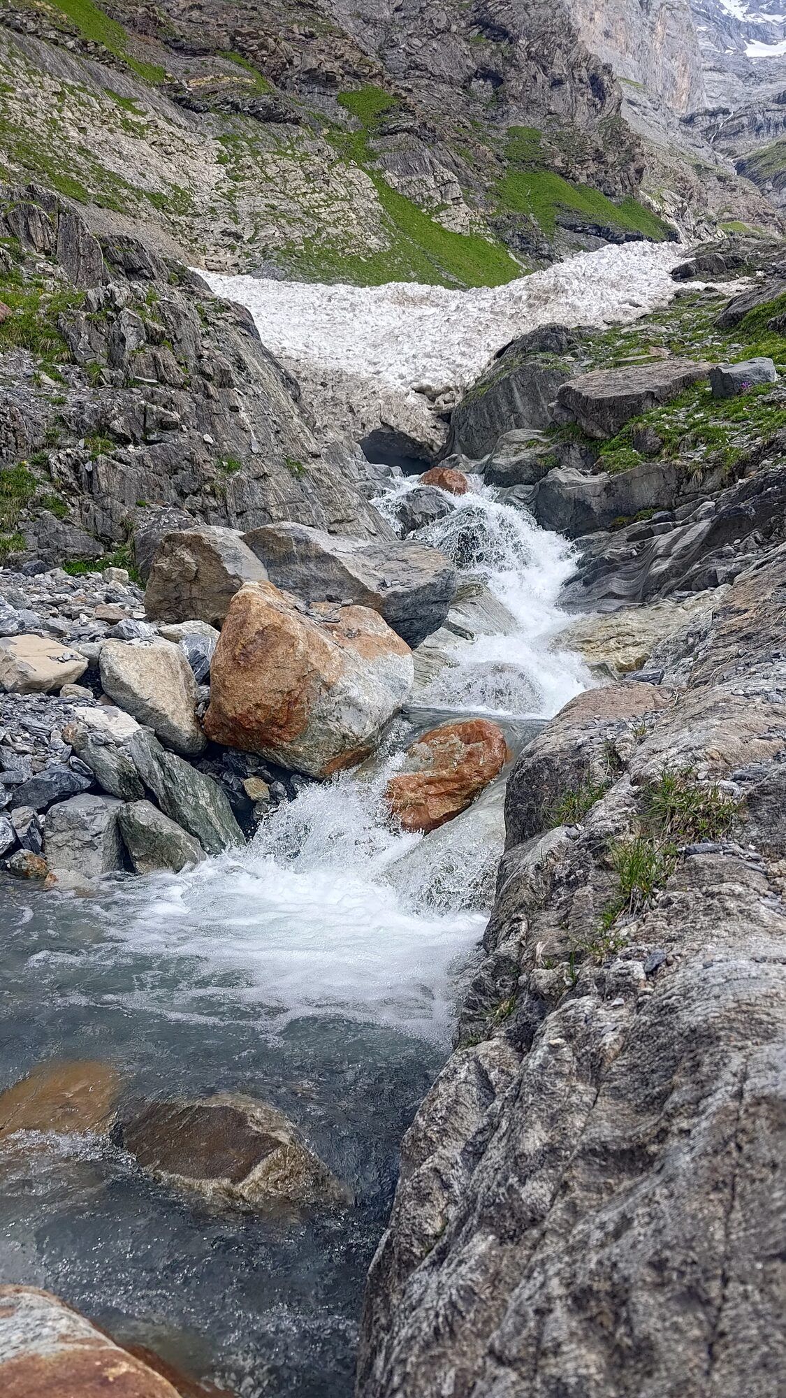
Round the corner the slope eased onto bare rock, and the rest was easy: a few chains, a gorge, some stream hopping.
About 5½ hours up and 2–3 down. Very happy to be off it. Proper type 3 fun.
What I take on a T6 now
- Microspikes. Always. They weigh nothing, and when you need them, nothing else will do.
- An ice axe. I still leave it at home too often. On steep snow, and on steep grass, it's the difference between a slip and a fall.
- A few slings or a short rope. Enough to improvise a harness, use a boulder as an anchor, or leave a bit of tat in a nasty spot for whoever comes next.
- A way to call for help. A satellite messenger like Garmin inReach, or a phone with satellite SOS. The inReach is tougher, has its own battery, and can share your location even if you can't.
- A plan someone else knows. "I should have signal by 3 pm. If you haven't heard from me, check on me."
- Dry, stable weather. If it rained the day before, or today's forecast is shaky, I don't go. This should really be rule number one.
I've had a few epics and some genuinely bad days out there, and these rules came from them. Mountains aren't a playground, and nobody's mum is coming to pick you up when it gets too scary.
The route
Download the GPX · Open in the swisstopo map · SAC route description